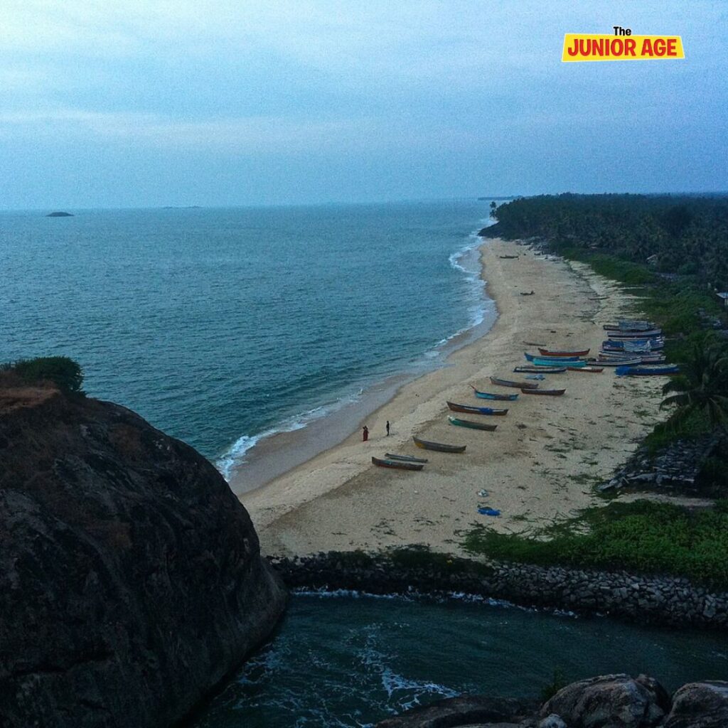
India’s coastline is significantly longer than previously thought, now measured at 11,098.81 kilometers—an increase of 48% from the earlier accepted length of 7,516.6 kilometers. This change is not due to any territorial expansion but results from advancements in measurement techniques and a shift in the scale used for calculation.

Get Know everything about India, Buy This Amazing Exploring India Flashcards.
The previous official measurement of India’s coastline, approximately 7,516.6 km, was recorded in the 1970s. Earlier measurements relied on less detailed maps that missed many small curves, bays, and islands. With the help of modern tools such as satellites, drones, and sophisticated computer software, researchers have been able to include all the intricate features along the coast, resulting in a longer and more precise coastline measurement. This improved measurement is important for better managing coastal resources, protecting the environment, planning for climate change adaptation, and developing ports and fisheries. States such as Gujarat and West Bengal saw significant increases in their recorded coastline lengths.
Subscribe To Children’s Newspaper Click here.
Word Check
A coastline is the place where the land meets the ocean or sea. It’s the edge of the land next to the water. Coastlines can be straight or have lots of curves, beaches, and small bays. They can change over time because of waves and weather.
Also watch video on Interesting Facts About The Drafting of the Constitution of India